Nærøyfjord
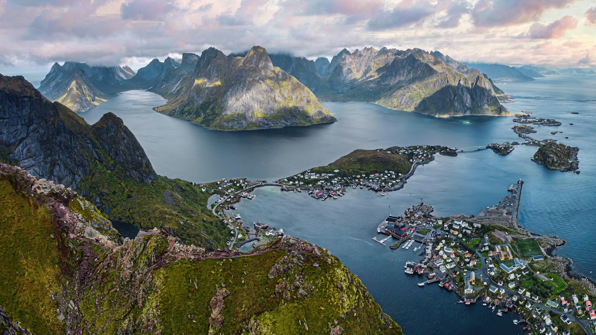
Nærøyfjord — whose name translates from Old Norse as 'narrow fjord' — holds the distinction of being the world's narrowest navigable fjord, constricting to just 250 metres at its tightest point near Bakka village in Vestland county, western Norway. At 17 kilometres in length and up to 1,700 metres deep from cliff-top to fjord floor when measured vertically, it creates a corridor of almost surreal geological drama. Together with Geirangerfjord, it was inscribed as a UNESCO World Heritage Site in 2005, recognised for its outstanding natural beauty and the remarkable completeness of its glacially-sculpted landscape. The fjord is a branch of the larger Sognefjord — the longest and deepest fjord in the world at 204 km — and inherits its cold, clear water from the vast Jostedalsbreen glacier system to the east.
🌍 Geography and Ecosystem
- Bakka Narrows: The point where the fjord contracts to 250 metres, flanked by walls rising 1,400 metres on both sides. The acoustic effect of waterfalls in this section, channelled between the cliffs, creates an immersive soundscape that passengers on the Flåm–Gudvangen ferry describe as uniquely tranquil and overwhelming simultaneously.
- Styvi to Bakka Trail: An ancient footpath tracing the western shore of the fjord for 5 km between two tiny settlements, passing abandoned farms, waterfalls, and viewpoints accessible only on foot. The trail gives access to a landscape unchanged for centuries and hosts abundant wildflowers including marsh marigold, globeflower, and meadow cranesbill in early summer.
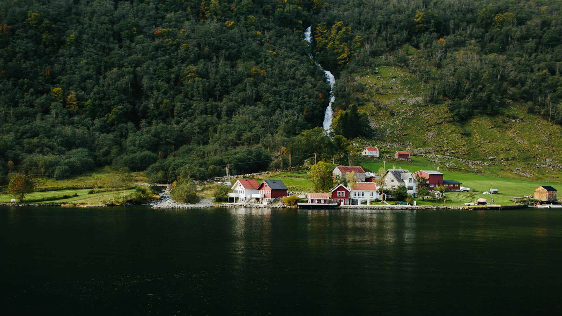
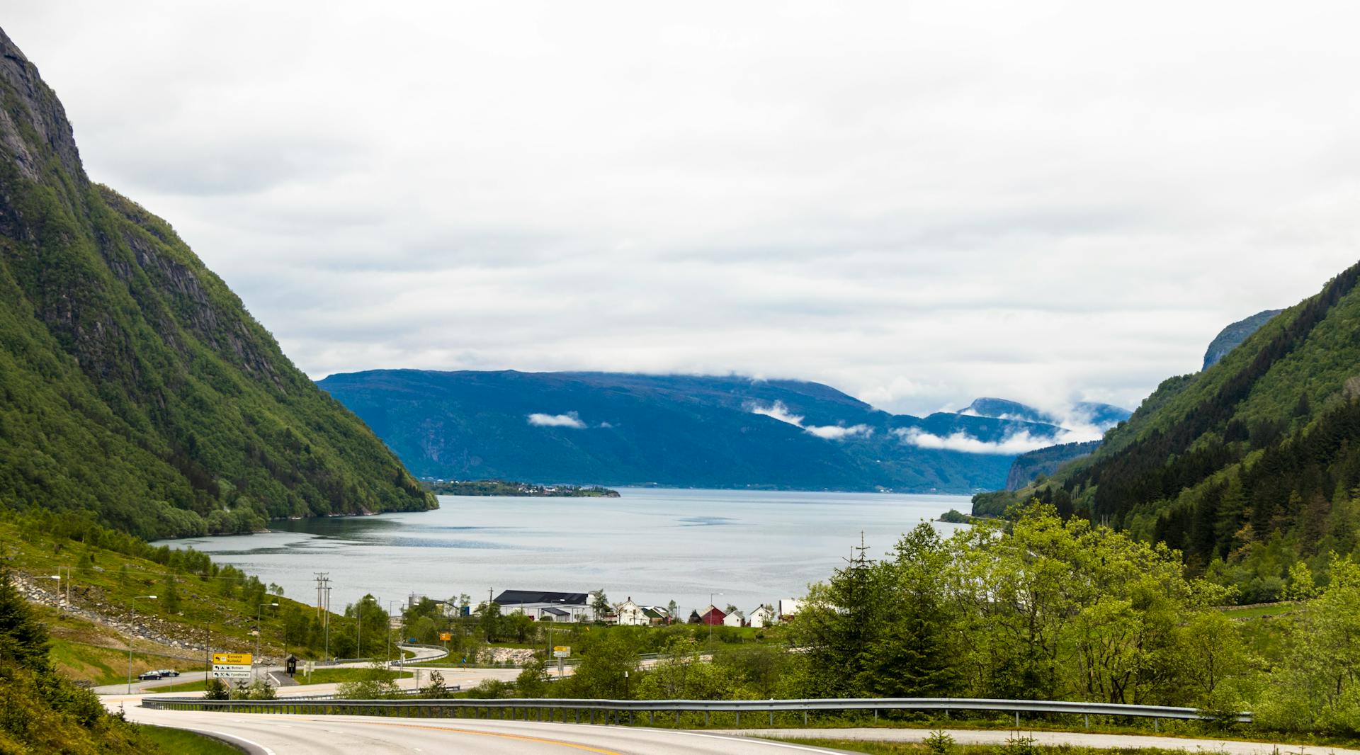
- Stalheim Valley: The eastern approach to Nærøyfjord through the Nærøydalen valley passes the dramatic Stalheimskleiva road — 13 hairpin bends with a 20% gradient — and the Stalheim and Sivle waterfalls dropping a combined 126 metres in a narrow gorge. This valley was an important passage on the ancient pilgrim route from Bergen to Nidaros (Trondheim).
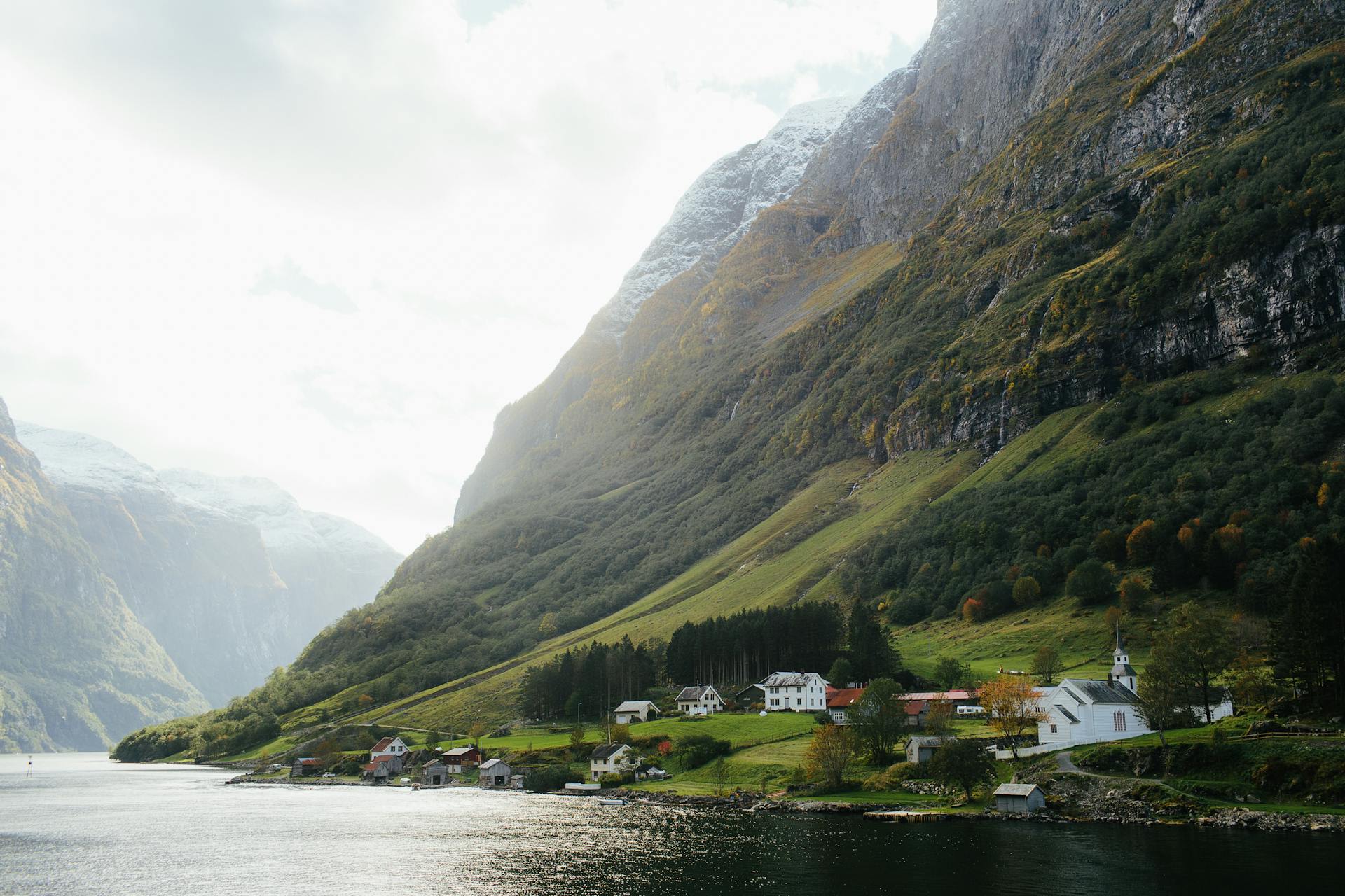
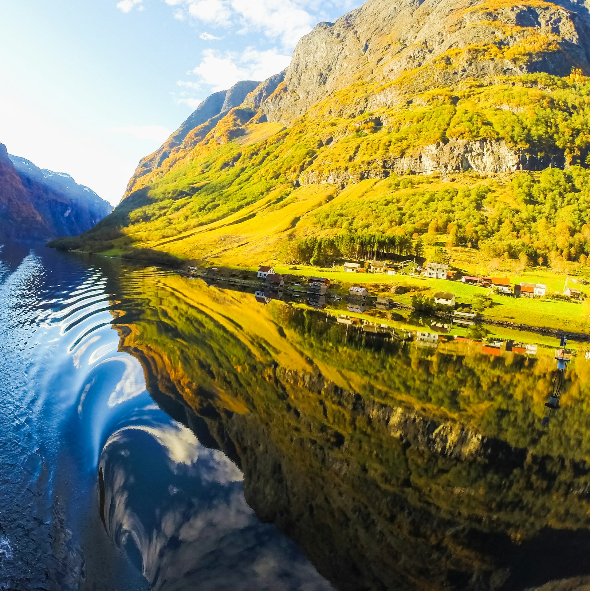
- Gudvangen Village: At the innermost head of the fjord, Gudvangen (population c.100) has operated as a ferry terminal for over 150 years and recently developed a Viking Valley living-history centre recreating Iron Age settlement life. The cultural contrast between its medieval heritage and its role as a modern fjord tourism hub makes it an unusually layered destination.
📜 History and Cultural Significance
By the medieval period, the fjord shores supported a network of small farms whose tenants paid rent to the Bishop of Bergen, and the route through Nærøydalen was formalised as part of the St Olav's Way pilgrim road connecting the western coast to the shrine of St Olaf at Nidaros Cathedral in Trondheim. The 19th century brought the first tourists — initially adventurous British travellers following the romanticism movement's celebration of sublime landscape — and the first guidebooks described the narrows between Bakka and Gudvangen as among the most awe-inspiring natural passages in Europe. Several of the cliff farms were abandoned progressively through the 20th century as economic modernisation made subsistence farming unviable, and today only a handful of residents remain in the most remote settlements.
🏃 Activities and Attractions
- Flåm Railway and Ferry Combo: The world-famous Flåmsbana mountain railway descends 864 metres from Myrdal to Flåm in just 20 km, passing waterfalls and mountain farms. Combining the train descent with the NutShell Norway fjord cruise through Nærøyfjord to Gudvangen, then bus back to Myrdal, creates one of Scandinavia's classic one-day travel circuits.
- Sea Kayaking: Guided multi-day kayaking expeditions camp on tiny beach terraces along the fjord's otherwise cliff-bound shore. Dawn departures from Gudvangen, paddling in near-silence through the 250-metre narrows, are consistently rated among the finest kayaking experiences in northern Europe. Independent rentals are available at Flåm and Gudvangen.
- Cycling the Rallarvegen: The 82-km Navvies Road (Rallarvegen) follows the Bergen–Oslo railway construction route from Haugastøl on the Hardangervidda plateau down to Flåm, with the final descent into the Flåmsdalen valley providing extraordinary fjord views. The route is cyclable from late June to September and is widely considered Norway's finest mountain bike road.
- Hiking the Ancient Footpaths: The 5 km Styvi–Bakka trail along the western fjord shore passes farmsteads dating to the 1600s and seasonal waterfalls. The steeper Rimstigen trail climbs 700 metres above Undredal village to a plateau with sweeping Sognefjord views. Both trails are maintained by the Norwegian Trekking Association (DNT).
- Viking Valley Living History: At Gudvangen, the Norse village recreates daily life in 793 CE with reconstructed longhouses, demonstrations of traditional crafts including blacksmithing, leatherwork, and archery, and actors in period costume. The annual Viking Market in July draws re-enactors from across Scandinavia for one of Norway's most authentic historical events.
💡 Travel Tips
Best Season: May to September for the ferry service and full trail access. Waterfall volume peaks in May–June. July–August are the busiest months but still manageable compared to Geirangerfjord. October–April offers stark winter beauty but the Gudvangen ferry and many facilities are suspended.
Accommodation: Flåm village has the most accommodation options including the historic Fretheim Hotel (1866) and a waterfront camping area. Gudvangen has a campsite and guesthouse. Book well in advance for July–August. Voss (35 km from Gudvangen) offers a wider range of hotels.
What to Pack: Layered waterproof clothing is essential even in summer. The fjord creates shadow for much of the day in winter and the temperature at water level can be 8°C cooler than the surrounding plateau. Binoculars for spotting white-tailed eagles, which nest in the cliffs and are frequently visible from the ferry.
🌱 Conservation
The maintenance of traditional farming in Nærøydalen — the valley feeding the inner fjord — is considered critical for preserving the cultural landscape that forms part of the UNESCO designation. Vestigial hay-meadow management, carried out by the last remaining resident farms with government subsidies, prevents the valley floor from reverting to scrub and maintains the open, luminous character that defines the approach to the fjord. Bird populations, particularly white-tailed eagle, have recovered strongly since DDT was banned in Norway in 1970, and the fjord now supports one of the densest nesting populations of this species in western Scandinavia.