Jökulsárlón Glacier Lagoon
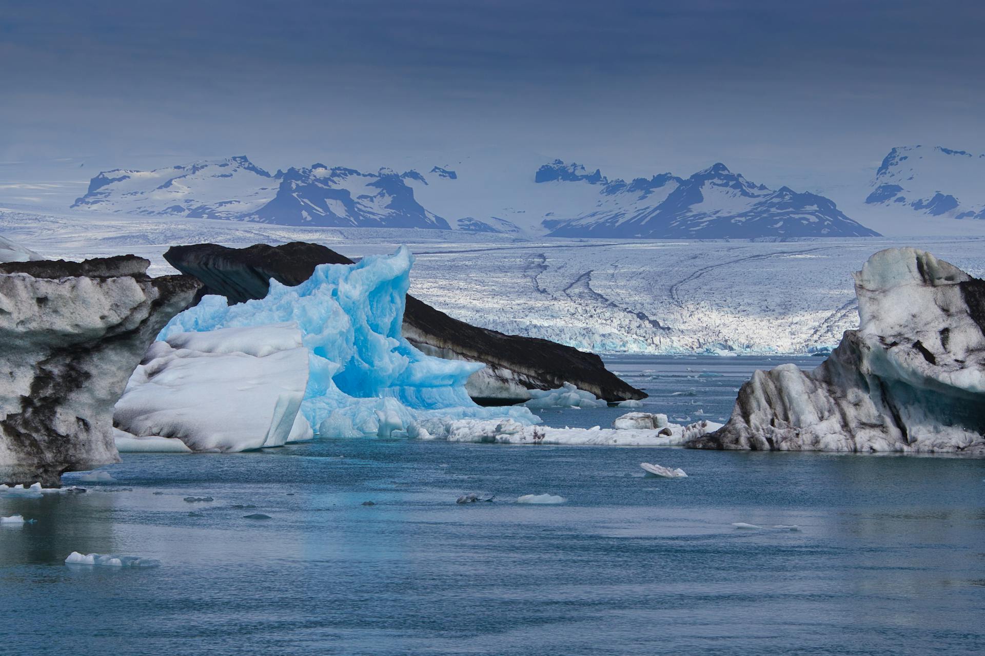
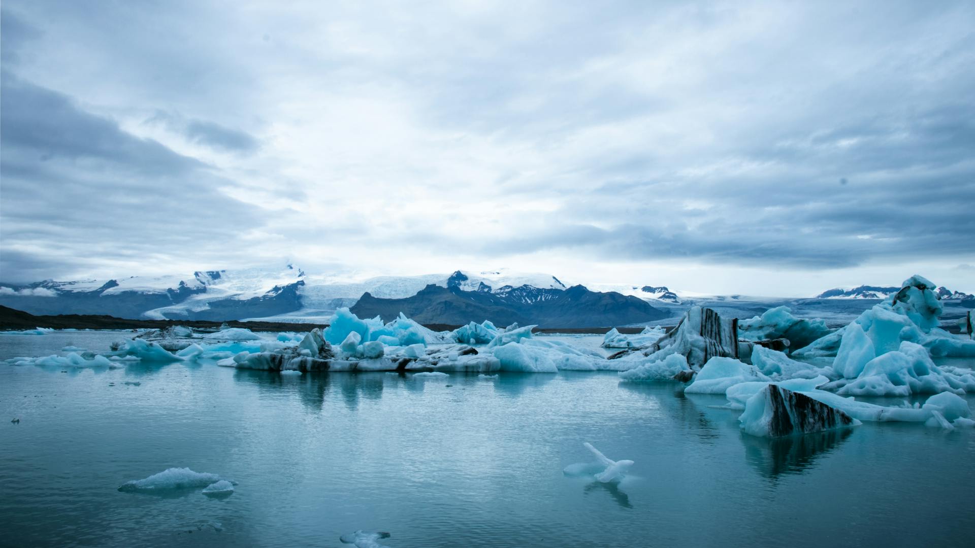
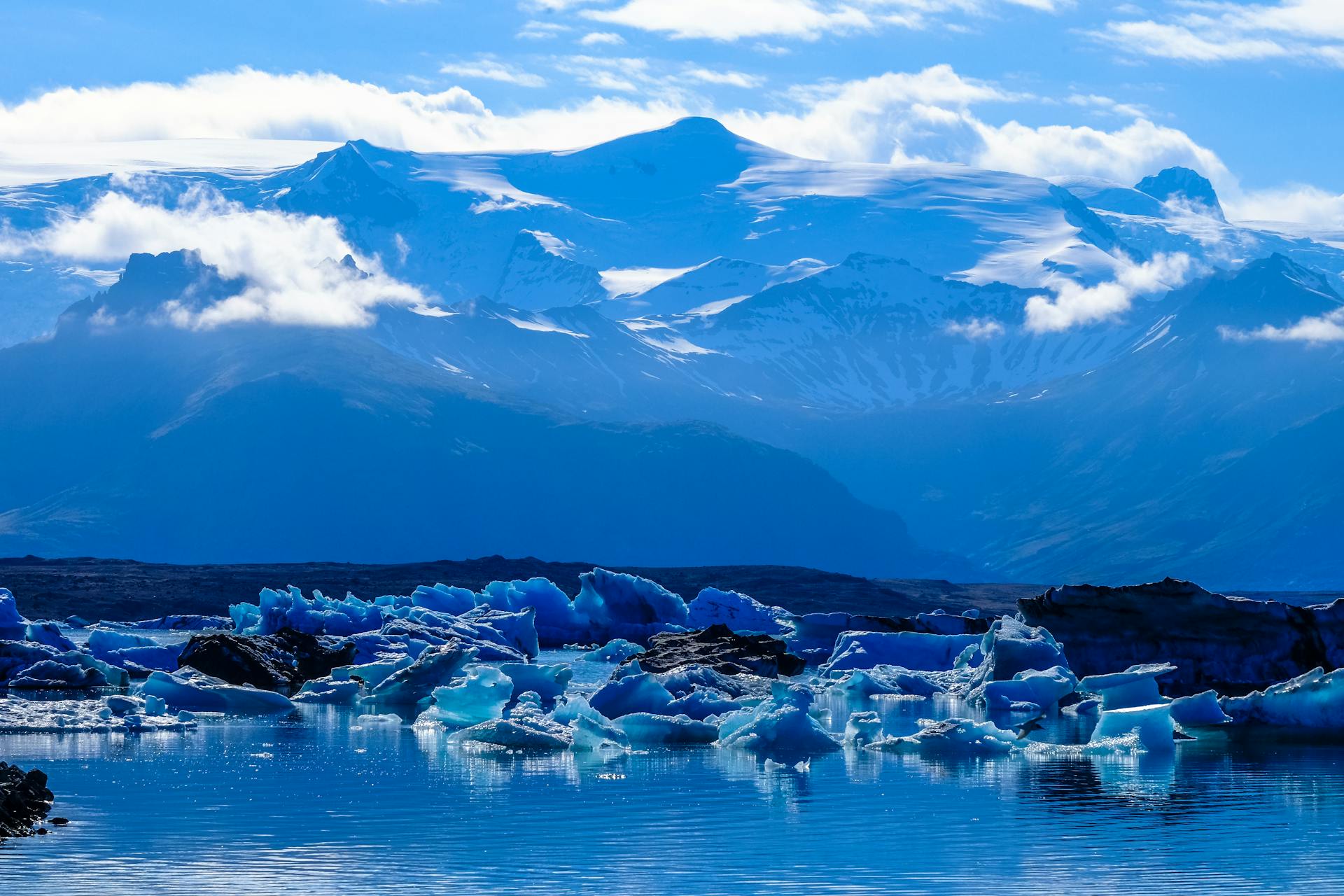
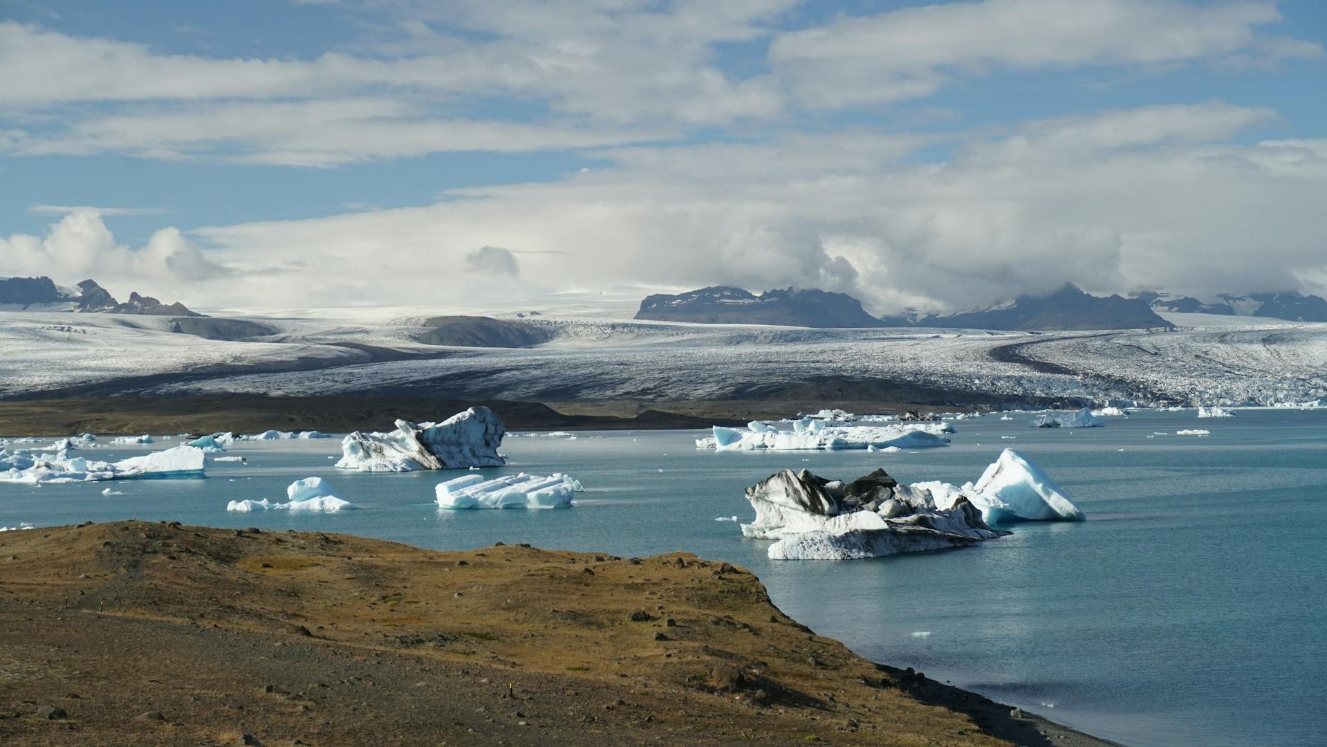
Jökulsárlón is Iceland's most visually dramatic glacial landscape and its largest and deepest lake, reaching 284 metres depth at the foot of the Breiðamerkurjökull outlet glacier of the vast Vatnajökull ice cap. Located in the southeast of Iceland near the Ring Road (Route 1), approximately 375 km east of Reykjavík, the lagoon was practically non-existent before 1935 — it has expanded from approximately 7 km² to over 27 km² in less than 90 years, purely as a result of accelerating glacial retreat. House-sized icebergs calved from the 900-metre-thick glacier tongue drift slowly through the lagoon, shaped by wind and current into surreal blue-and-white sculptures, before passing through a tidal channel to the adjacent Diamond Beach — a black sand shore where the ice fragments wash up and catch the light like scattered jewels. Few landscapes anywhere on Earth combine such elemental forces — ice, ocean, volcanic rock, and Arctic light — with such accessibility and visual immediacy.
🌍 Geography and Ecosystem
- Calving Glacier Front: The 2–3 km wide terminus of Breiðamerkurjökull is an active calving face, where the glacier sheds chunks of ice ranging from car-sized blocks to multi-storey icebergs weighing thousands of tonnes. Calving events occur continuously throughout the day, producing a deep resonant crack followed by waves that can reach nearby shore in under a minute. The ice ranges from brilliant white (air-bubble-rich) to deep cerulean blue (ancient compressed ice with no air).
- Diamond Beach (Breiðamerkursandur): Directly across the Ring Road from the lagoon, a black volcanic sand beach where outflow icebergs from Jökulsárlón wash up after passing through the tidal channel. The contrast of the white ice against the black sand, with each piece shaped differently by the journey, creates a constantly changing natural sculpture park accessible on foot. Best photographed at low tide when the most ice is visible.
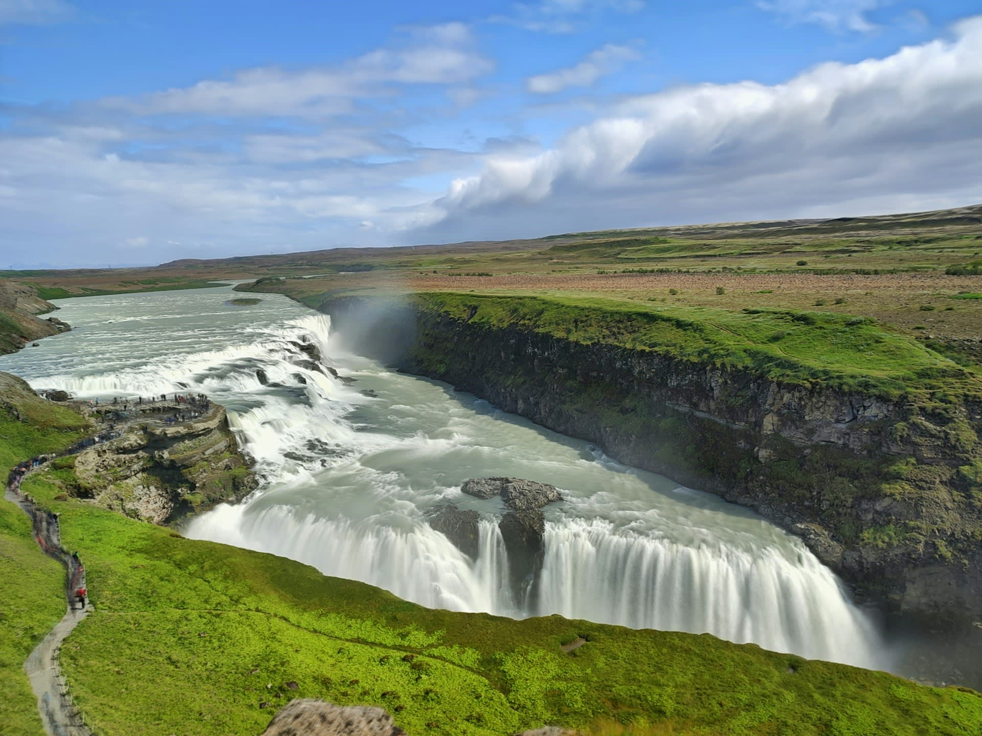
- Vatnajökull Ice Cap: The glacier feeding Jökulsárlón covers an area roughly the size of Yorkshire, concealing several active volcanic systems including Grímsvötn (Iceland's most frequently erupting volcano) and the massive Bárðarbunga caldera. The ice over Grímsvötn is up to 600 metres thick; when the volcano erupts beneath it, the resulting sub-glacial flood (jökulhlaup) can discharge water at 40,000 m³/s — comparable to the Amazon River at peak flow.
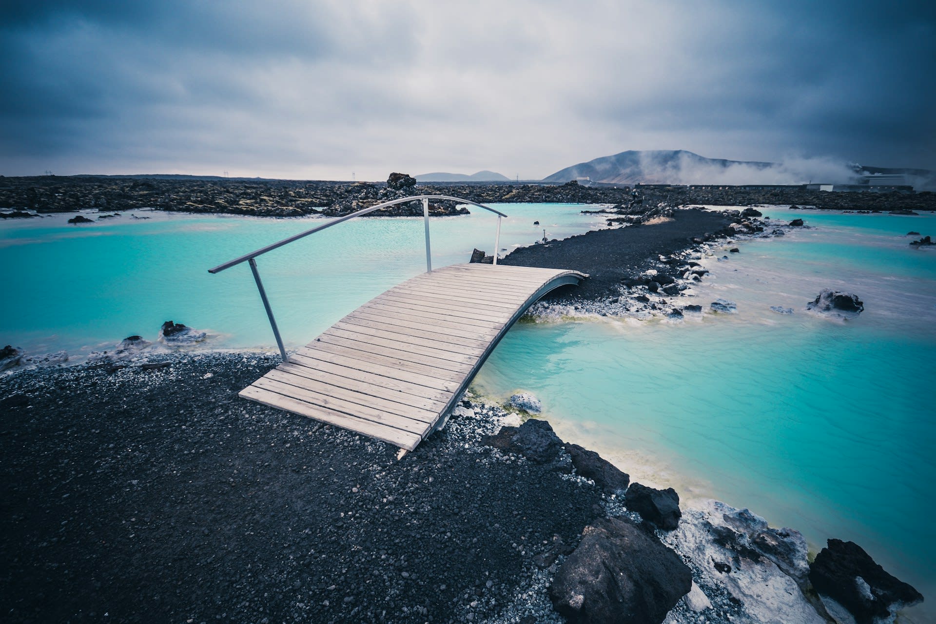
- Fjallsárlón Lagoon: A smaller (1.4 km²) sister lagoon 10 km to the west, fed by the Fjallsjökull outlet glacier. Far fewer visitors than Jökulsárlón, with a more intimate scale that allows closer approach to the calving face on zodiac boats. The surrounding mountain backdrop — the Öræfajökull stratovolcano at 2,110 metres, Iceland's highest peak — provides a dramatic visual context.
📜 History and Cultural Significance
Jökulsárlón achieved global cultural recognition through its use as a location in two James Bond films: A View to a Kill (1985) and Die Another Day (2002), in which the lagoon doubled as Soviet and Arctic sea settings respectively. The extraordinary visual character of the lagoon also featured in the BBC's Planet Earth series and in numerous fashion and commercial shoots — the contrast of ice blue against the black sand beach has become one of the most reproduced natural images of the 21st century. The rapid expansion of the lagoon since filming of the Bond movies provides a stark visual record of climate-driven glacial change and has made Jökulsárlón an important site for public science communication about ice loss.
🏃 Activities and Attractions
- Amphibious Boat Tour: The original and most popular tour on the lagoon — large orange amphibious vehicles (DUKW boats) that drive directly into the water from the carpark and cruise among the icebergs. Guides stop alongside larger bergs to provide ice samples from glacial ice up to 1,000 years old, and explain the calving process and ice colour science. Tours last 40 minutes and depart approximately every 30 minutes in season.
- Zodiac Boat Tour: Smaller rigid inflatable boats that provide closer approach to the calving glacier face and allow manoeuvring among the smaller icebergs. The zodiac tours access areas of the lagoon impossible for the larger amphibious vessels and provide more intimate views of seals hauled on ice floes. Available May–October, book in advance.
- Diamond Beach Photography: The beach is accessible year-round via a tunnel under the Ring Road from the lagoon carpark. The best light for photography is the golden hour before sunset or immediately after sunrise, when the low-angle light refracts through the ice and creates prismatic effects. The beach composition changes daily as ice washes in and melts — no two visits produce the same scene.
- Glacier Hike on Vatnajökull: Guided ice hike and glacier walk tours depart from the Skaftafell area of Vatnajökull National Park (30 km west), providing access to the surface of the ice cap. Crampons, ice axes, and full instruction are included. More demanding multi-day expeditions to the glacial summit plateau and Grímsvötn volcanic area are available for experienced mountaineers through specialist operators.
- Northern Lights Over the Lagoon: The reflective surface of the lagoon amplifies aurora borealis displays, and the icebergs provide extraordinary foreground compositions for night photography. The lack of nearby light pollution (the nearest town, Höfn, is 80 km east) and the southern latitude of Iceland's aurora belt make October–March evenings with clear skies at Jökulsárlón among the finest aurora photography conditions in the country.
💡 Travel Tips
Best Season: June–August for midnight sun, maximum boat tour availability, and best weather. September–October for aurora possibilities combined with warm autumn colours on surrounding vegetation and moderate visitor numbers. February–April for winter aurora and dramatic frozen conditions (the tidal channel may partially freeze).
Accommodation: Höfn town (80 km east) is the nearest service hub, famous for its langoustine restaurants. The Fosshotel Glacier Lagoon (adjacent to the lagoon) provides on-site accommodation with lagoon views — book 6+ months in advance. Guesthouses are scattered along the Ring Road between Kirkjubæjarklaustur and Höfn.
Safety: Never climb on or touch icebergs on Diamond Beach — they are unstable, may roll, and waves from calving events can be sudden and powerful. The tidal current through the Jökulsá channel is dangerously fast; do not enter the water. The Ring Road bridge over the channel is a single lane — traffic light controlled, maximum speed 30 km/h.
🌱 Conservation
The boat tour operations on the lagoon are licensed and regulated under park authority permits, with strict controls on engine emissions (electric and hybrid boats are being phased in), number of daily vessels, and approach distances to the calving glacier face. The greatest unmanaged pressure is independent visitors accessing Diamond Beach — the Ring Road bridge and carpark create concentrated visitor flows onto a geologically active shoreline where wave conditions can change without warning. Vatnajökull National Park authority has resisted calls to restrict beach access, arguing that the educational value of seeing climate change impacts firsthand outweighs the visitor management costs.