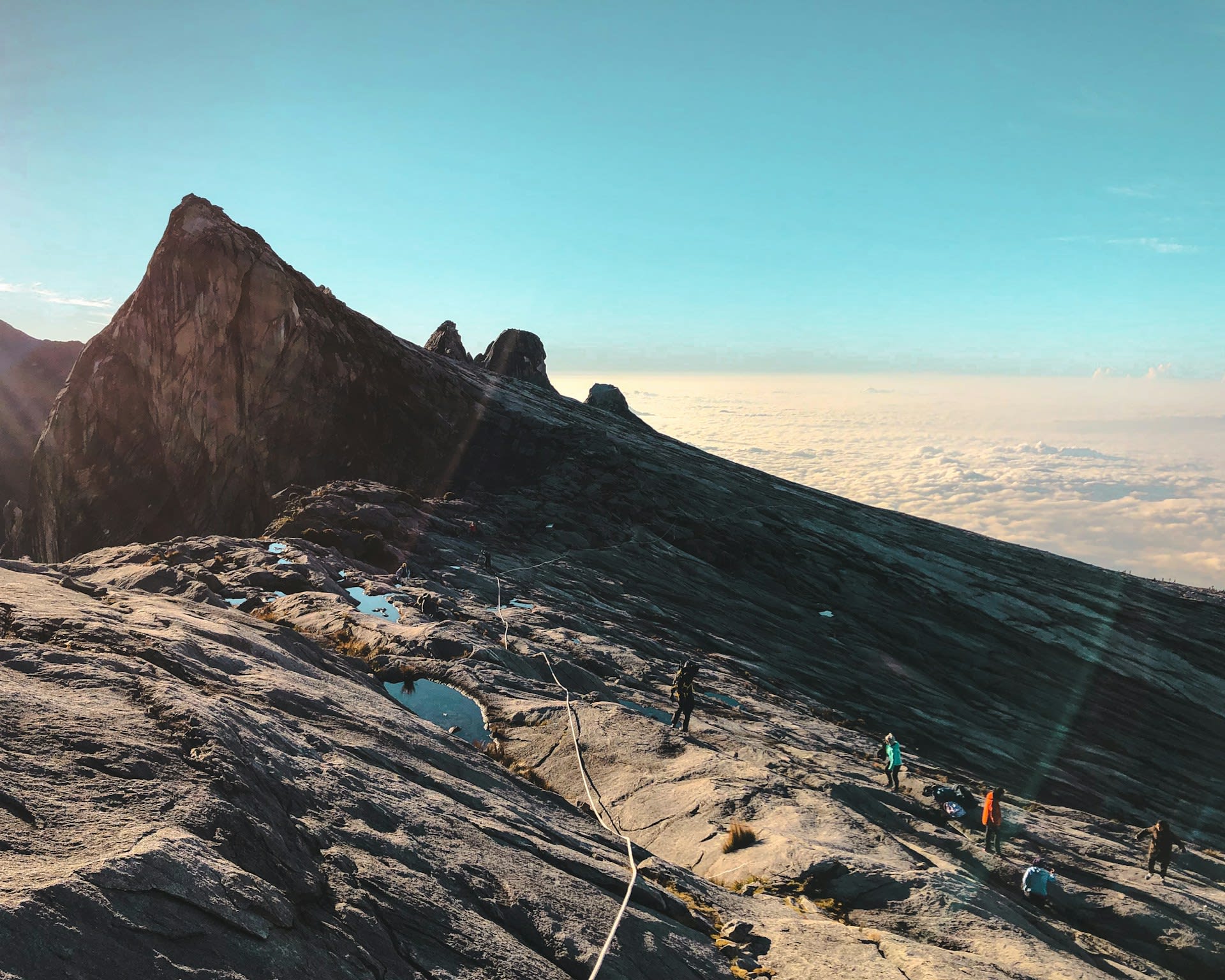
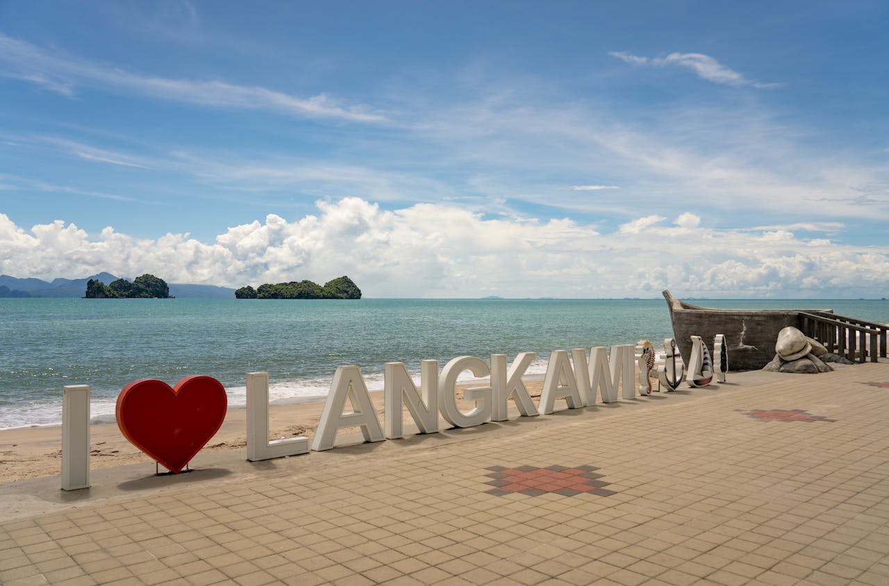
Langkawi
Langkawi is an archipelago of 99 islands in the Andaman Sea, off the northwestern coast of Malaysia in Kedah State — the largest island (Langkawi proper) covering 478 km², the others ranging from uninhabited granite islets to the forested limestone karst formations of the Kilim Karst Geoforest Park. Langkawi was designated a UNESCO Global Geopark in 2007 — the first in Southeast Asia — in recognition of its exceptional geological heritage, which encompasses rocks ranging from 550 million years old (Machinchang Formation on the northwestern tip, the oldest exposed geological sequence in Southeast Asia) to recent coral reef formations. The island combines this extraordinary geological heritage with pristine tropical rainforest on the granite peaks of Gunung Mat Cincang (708 m) and Gunung Raya (881 m), the largest mangrove ecosystem in Peninsular Malaysia in the Kilim and Kisap geoforests, and some of the finest beaches in the region. As a duty-free island since 1987, Langkawi has developed significant tourism infrastructure while retaining the natural environment that earned its geopark designation.
🌍 Geography and Ecosystem
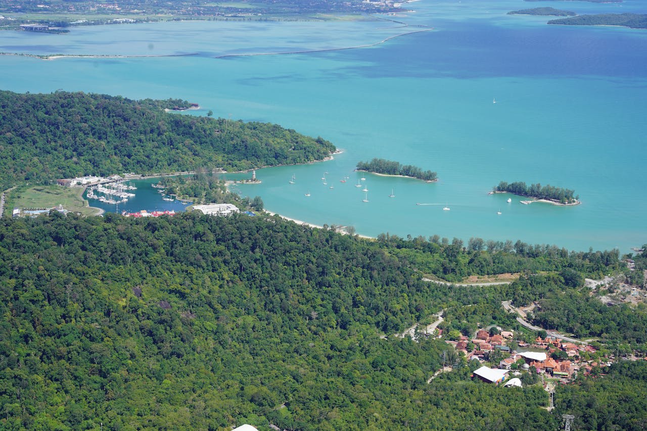
- Kilim Karst Geoforest Park: The Kilim (and adjoining Kisap) geoforest on the northeast coast covers 100 km² of mangrove forest, limestone karst formations, and tidal lagoons — the most ecologically significant habitat in the Langkawi archipelago. Boat tours through the mangrove channels reveal a remarkable concentration of wildlife: Brahminy kites (symbol of Langkawi) soaring overhead, white-bellied sea eagles diving for fish, long-tailed macaques raiding nests, and monitor lizards on the mangrove roots. The cave system within the limestone karst (particularly Gua Kelawar bat cave) supports hundreds of thousands of bats roosting in the cave chambers.
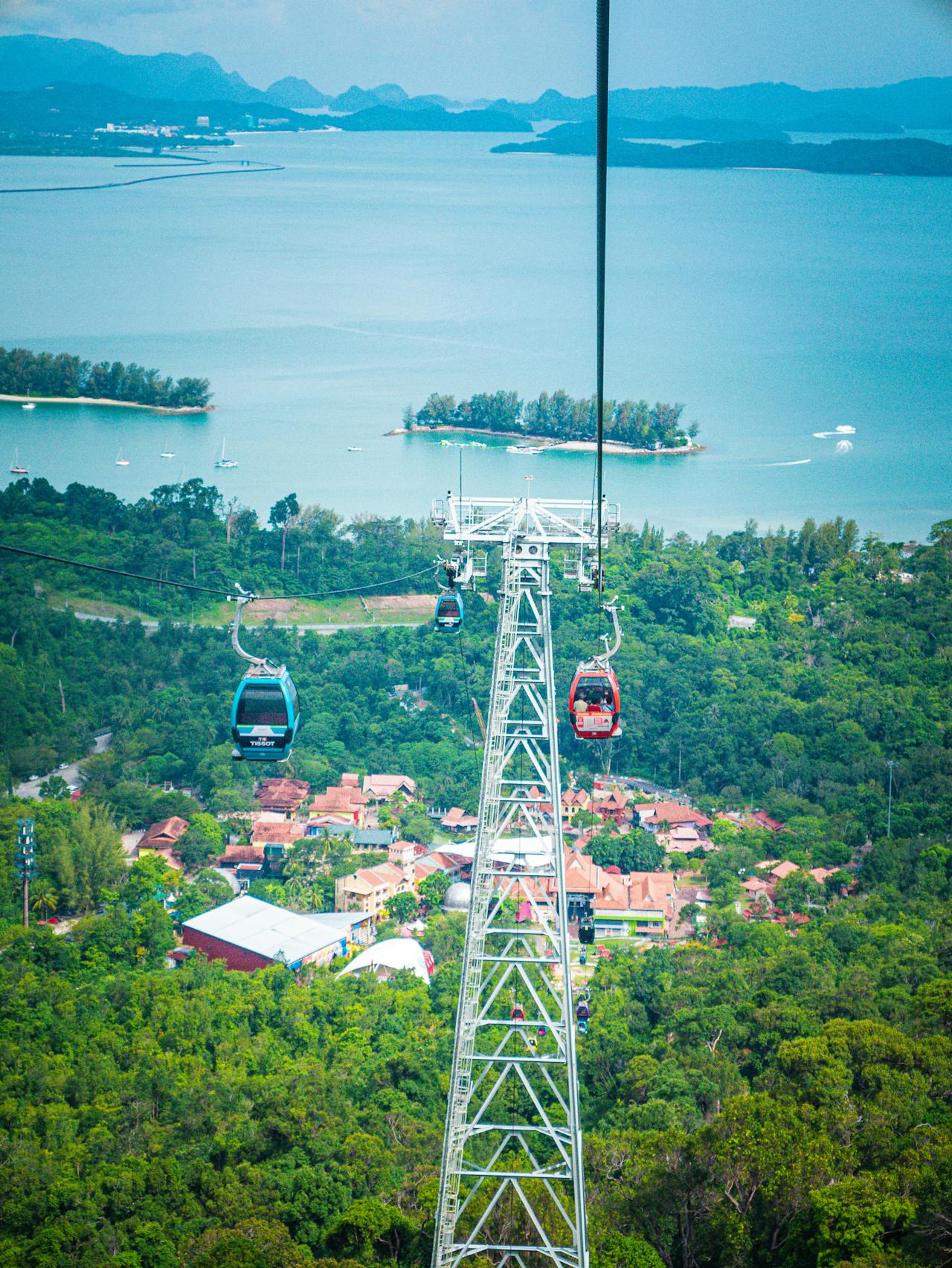
- Gunung Mat Cincang and SkyBridge: The SkyCab cable car ascending Gunung Mat Cincang (708 m) — with a 15-degree incline that was the world's steepest cable car on its opening in 2002 — delivers access to the summit ridge, where the SkyBridge — a 125 m curved pedestrian suspension bridge 660 m above sea level — spans a valley between two peaks with views across the archipelago, the Andaman Sea, and (on clear days) the Thai coast to the north. The rainforest canopy visible from the bridge contains hornbill, leafbird, trogon and sunbird species in the primary forest below.
- Telaga Tujuh (Seven Wells): A series of seven natural rock pools connected by waterfalls descending the granite face of Gunung Mat Cincang — accessible by a 10-minute walk from the Mat Cincang cable car lower station. The pools are fed by freshwater cascading off the mountain and are suitable for swimming. The upper pools above the Seven Wells can be reached by a further 30-minute trail climb through primary rainforest. A Langkawi Wildlife Park trails through the secondary forest flanking the approach road.
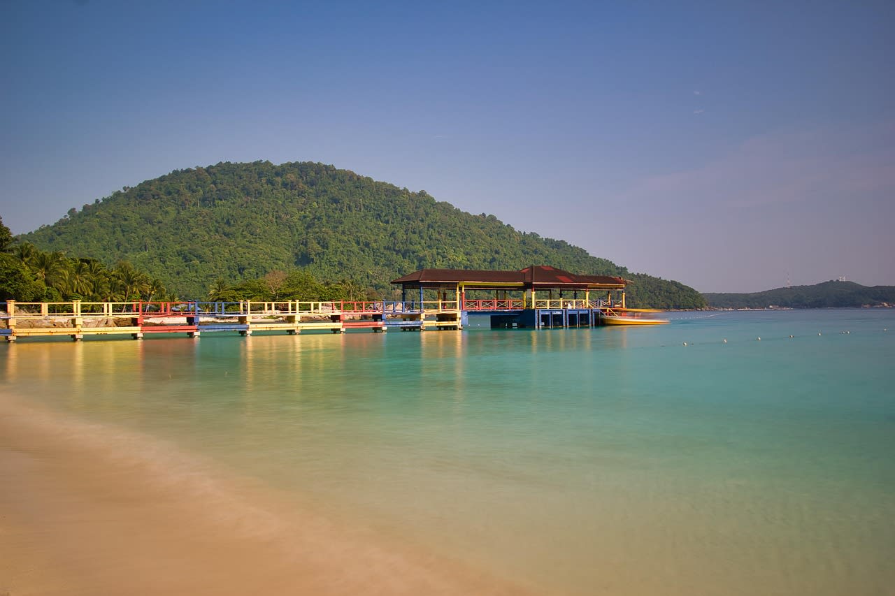
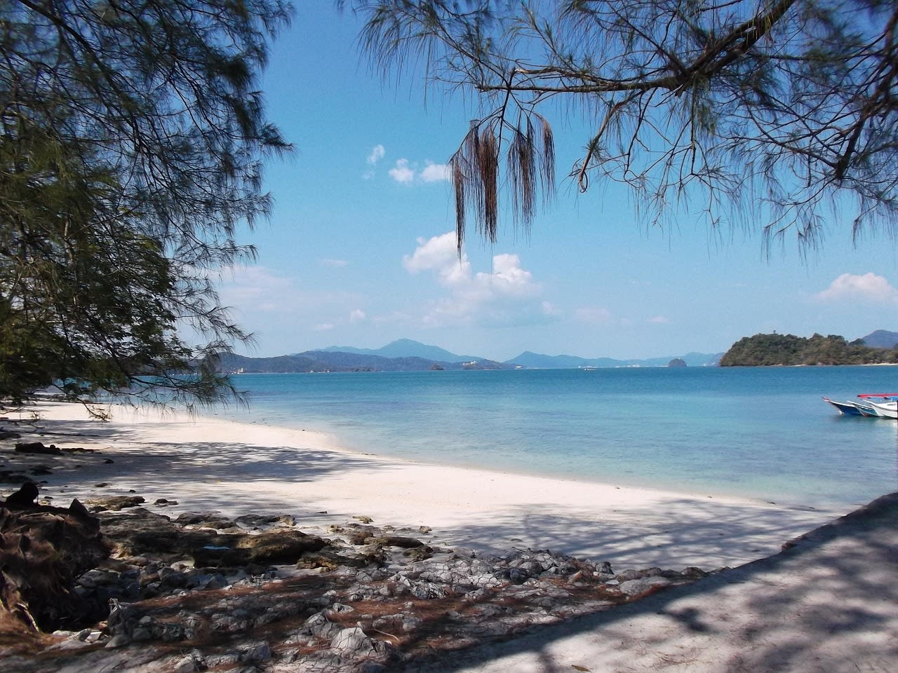
- Beaches and Marine Environment: Pantai Cenang (main tourist beach on the west coast) and the more secluded Pantai Tengah and Tanjung Rhu (northeast, backed by casuarina trees rather than development) represent the range of Langkawi beach environments. The marine environment in the Langkawi archipelago — particularly around the uninhabited islands of Ko Adang on the Thai side and the Langkawi Marine Park islands — contains hard coral reefs of good quality, with visibility 10–20 m in the dry season. Whale sharks are occasionally sighted in the deeper channels between the islands during May–August.
📜 History and Cultural Significance
The island is central to the cycle of legends surrounding Mahsuri — a Malay woman wrongly accused of adultery and executed in the early 19th century, whose dying curse condemned Langkawi to seven generations of misfortune. The Mahsuri legend (her tomb is preserved as a heritage site) is the foundational cultural narrative of Langkawi and explains the centuries of relative underdevelopment (pirates, conflict, poverty) that left the island in the natural state it retains today. The Malaysian government's decision to designate Langkawi a duty-free zone in 1987 reversed this trajectory — transforming the island's economy while preserving the natural environment as the primary tourism asset.
🏃 Activities and Attractions
- Kilim Mangrove Boat Tour: A half-day guided boat tour through the Kilim mangrove channels and karst caves is the most rewarding natural history experience in Langkawi. Eagle feeding at the bat cave exit (eagle-watching is the most reliable experience; feeding of eagles is ethically controversial but widely practiced), exploring the bat cave interior, and navigating the mangrove channels past monitor lizards, macaques, and otters provides a condensed wildlife experience in an unusual landscape. Sunrise tours avoid the midday heat and see more active wildlife.
- SkyCab and SkyBridge: The Gunung Mat Cincang cable car system (SkyCab) is one of the most popular Langkawi experiences — the ascent through three cable car stations delivers rainforest canopy views and the summit SkyBridge walk (660 m altitude, 125 m span) provides the best panoramic view of the archipelago. Book tickets online to avoid queues. The forest around the upper station has accessible hiking trails through primary forest past hornbill nesting trees.
- Island Hopping: Boat-based island hopping tours from Pantai Cenang and the main jetty visit the marine park islands south of Langkawi for snorkelling at coral reefs, kayaking around uninhabited islands, and swimming at secluded beaches. The most rewarding snorkelling is on the southern archipelago islands (Pulau Payar Marine Park, 1 hr by boat south of Langkawi) where marine park protection has produced better coral quality than the main island's coast. Half-day and full-day tours operate year-round.
- Gunung Raya Hiking and Birdwatching: Gunung Raya (881 m — the highest peak in the Langkawi archipelago) has a paved road to the summit, allowing access to the primary rainforest of the Raya highlands by both car and foot. The birding on the Gunung Raya summit road (2 km from car park to summit) is outstanding — Wallace's hawk-eagle, crested fireback pheasant, greater coucal, Diard's trogon, and the endemic Langkawi peacock-pheasant are all recorded in the highland forest. Dawn birding (access by private transport) is optimal.
💡 Travel Tips
Best Season: November–April is the main dry season for the west coast and the Andaman Sea — ideal for beach, water sports, and snorkelling. The east and northeast (Kilim geoforest) is drier in April–October when the southwest monsoon hits the west coast. December–February is peak tourist season (Langkawi is a popular school holiday destination for Kuala Lumpur families). May–September is the monsoon season on the west coast — significant rain, rough sea conditions on the west side, and occasional beach closures, but dramatically lower accommodation prices and the east coast Kilim geoforest is accessible.
Duty-Free: Langkawi is a duty-free island — alcohol, chocolate, and cigarettes are much cheaper than on the Malaysian mainland. The duty-free shops in the Pantai Cenang tourist area are a practical reason for many Malaysian visitors and can be combined with natural attractions.
🌱 Conservation
The primary conservation tension is between tourism development (the duty-free island's economic model depends on continued tourism growth) and the natural environment that makes tourism valuable. Pantai Cenang, the main tourist beach, has been significantly over-developed with unsightly commercial strip development that has degraded the beach aesthetic and generated water quality concerns in the adjacent marine area. The inland forests of Gunung Raya and the northern coast remain well-protected — the forest cover on the non-developed parts of the island is largely intact and provides continuous habitat connectivity for the island's wildlife. The Langkawi UNESCO Geopark management plan, reviewed every four years, provides the framework for balancing these competing pressures.